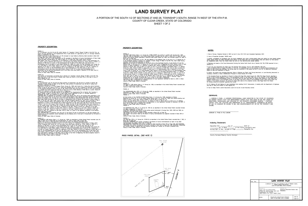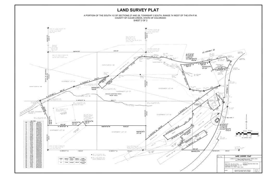

Sometimes referred as Pin or Lot Surveys, a Land Survey Plat is an Actual Boundary Survey. The LSP Verifies any found Monuments (Lot Corners) are in and in good standing. Any Missing Corners will be replaced. Any Improvements will be located along or near the Property Lines to ensure there are no Encroachments on your property from the adjoining parcels or from your property onto your neighbors.
A Land Survey Plat (Map) will be issued to you showing the Boundary lines and Corners along with the above noted Improvements.
Examples
(click to enlarge)